Heavy thunderstorms could give way to the warmest day of the year so far in Britain.
The same storm caused mudslides in northern France, which started around midnight and killed at least one person, a 57-year-old woman, and injured her partner.
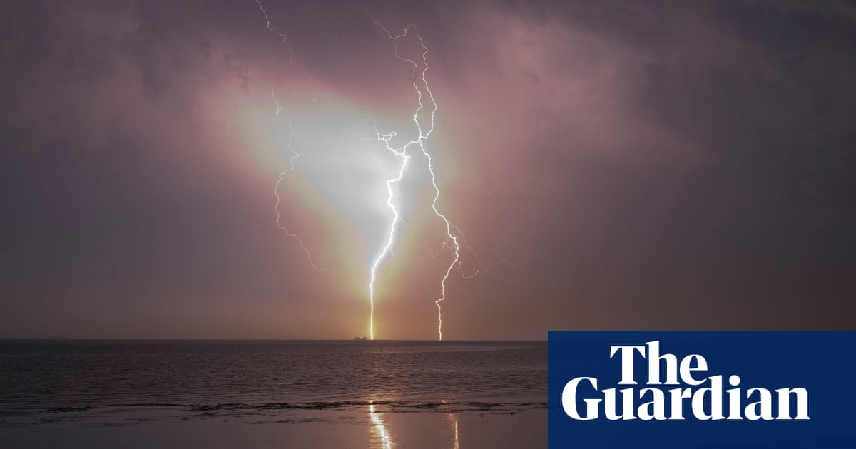
In southern England and Wales, storms and heavy rainfall overnight damaged buildings and caused travel delays.
The Met Office said this could be replaced later on Thursday with the year’s hottest temperature, replacing Wednesday’s high of 22.1C. The south-east of England may reach temperatures of 24C in the afternoon.
Two yellow weather warnings were issued for the UK by the Met Office, with heavy rain falling over parts of the country on Wednesday night. Storms hit the south-west of England and Wales, with a warning in place until 8am on Thursday. A warning in south-east England was extended to 10am on Thursday.
Lightning damage to the electricity supply on the rail line between Westbury and Castle Cary early on Thursday caused some trains to be cancelled. Lines have since reopened but National Rail warned that trains may still be cancelled, delayed or diverted “as service recovers”.
A care home in Elmer, Sussex, was hit by lightning which damaged the roof, while a university building in Chichester sustained damage to its roof and power system. West Sussex fire and rescue service said no one was injured from the strikes and that occupants were relocated to safety while the damage was assessed.
Marco Petagna, a meteorologist at the Met Office, said some places could experience their warmest temperatures of the year on Thursday. “After a night of storms, the rain will ease in the south of England for a while … We could see the skies brightening up in a few places and it will be another warm day. Parts of the south-east could even get to 24 degrees and beat today’s temperatures,” he told the PA news agency.
“But as the skies brighten and temperatures increase, this could spark a few more thundery showers in the afternoon, so it is likely to still be a bit unsettled and the forecast will be changeable over the next few days.”
The Met Office said the storms might cause travel disruption and some flooding, leading to “difficult driving conditions and some road closures”.
The north of England was expected to stay largely dry and warm while southern parts of the UK were hit by heavy rain.
The bank holiday weekend is expected to be a “very mixed picture”, said Petagna. Most areas are likely to experience some rain but temperatures will remain fairly warm, in the mid- to late-teens. On bank holiday Monday, showers are expected across the country.
Wednesday was the warmest day of 2024 so far, with a peak of 22.1C in Santon Downham in Suffolk.